 The SATAID Application
This page explains the SATAID application. To download SATAID, see the Download page.
- Introduction
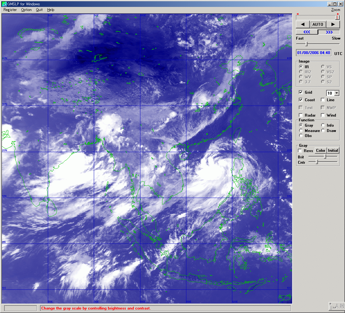
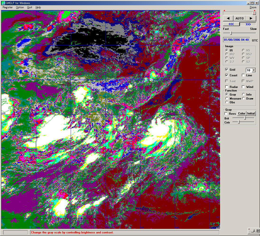
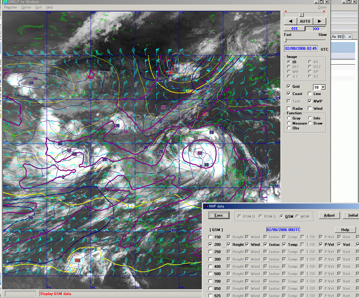
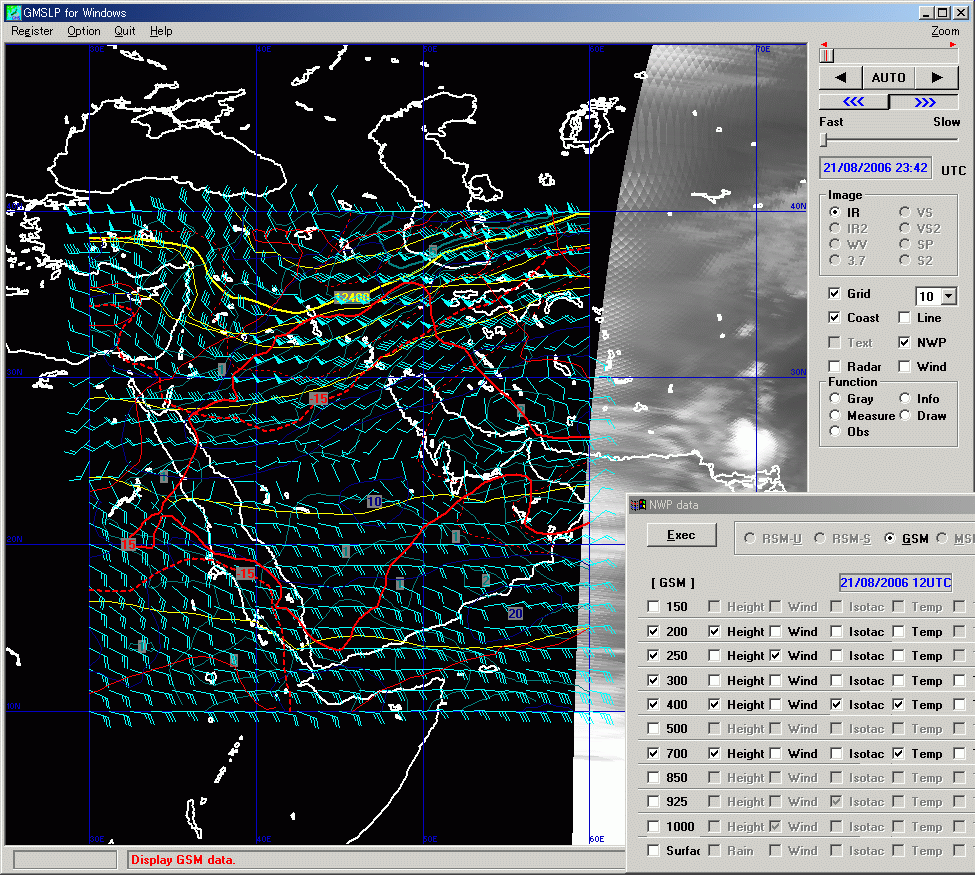
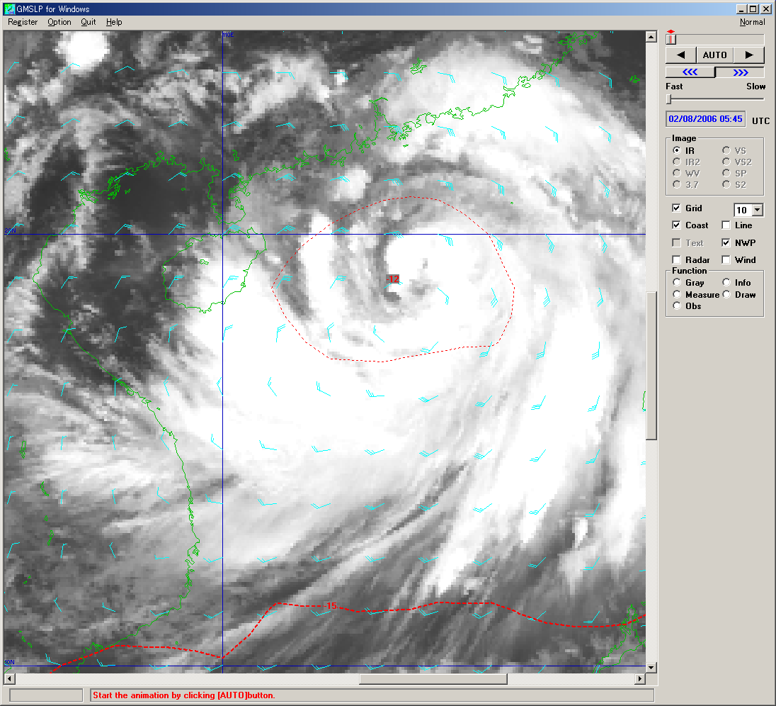
- SATAID (SATellite Animation and Interactive Diagnosis) was originally developed by JMA's Meteorological Satellite Center as a piece of application software within the Computer-aided Learning system (MSC-CAL) to display satellite imagery and NWP products. It was initially intended to support learning and training aimed at improving imagery analysis skills. SATAID can also be used as an operational tool for daily weather analysis and forecasting by meteorological service providers.
 |
 |
 |
 |
 |
 |
- Functions
The program provides the following main functions:
- Display of data on satellite imagery, cloud motion winds, NWP grid point values, surface observations, upper-air observations, radar echoes, AMeDAS (the Automated Meteorological Data Acquisition System based on Japanese automatic weather stations), etc.
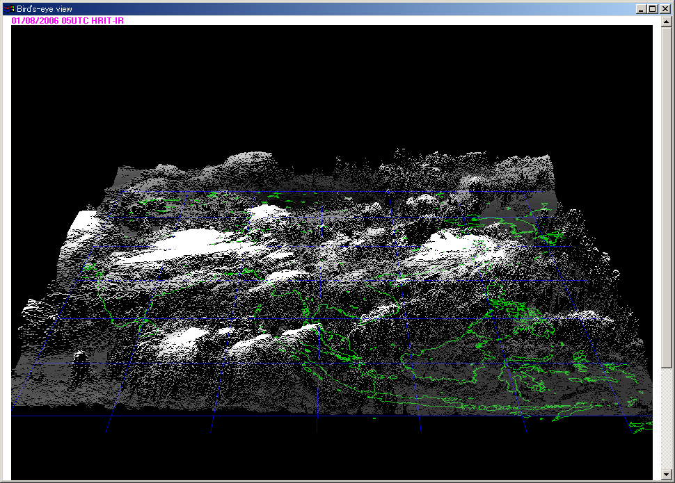
- Animation of satellite imagery, frame feeding, gradation adjustment, display of enlarged views, display of bird's-eye views
- Printing of displayed data
- Measurement of infrared brightness temperature, visible reflectance and speed of movement
- Display of statistical information for histograms, etc. of infrared brightness temperature and visible reflectance
- Display of isolines (planar and sectional views) of infrared brightness temperature and visible reflectance
- Superimposition onto displayed imagery
- The following environment is recommended for better performance of the program
- CPU: 1 GHz or more
- Memory capacity: 2048 MB minimum
- Display: 1280 dots × 960 lines or more, at least 16777216 color display
- OS: Windows 10 or later
